10 Sources

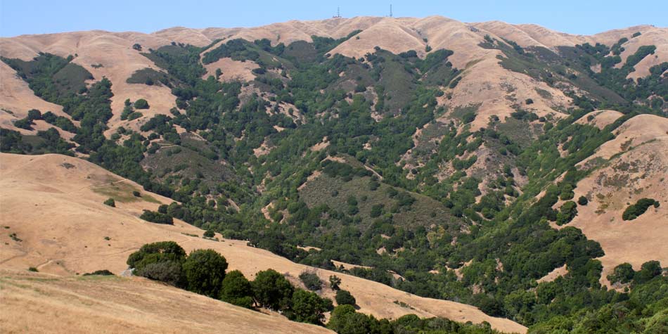
Photograph by Micha Salomon
A-G
Anderson, MK. 2005. Tending the Wild: Native American Knowledge and the Management of California’s Natural Resources. Berkeley: University of California Press.
Austin, H. 1873. Map of Marin County.
Collins, J.et al. 2007. Ecological Connections between Baylands and Uplands: Examples from Marin County. San Francisco Estuary Institute Report No. 521.
Collins, J., et al. 2006. Comparisons of Methods to Map California Riparian Areas. San Francisco Estuary Institute Report No. 522.
Cox, B. and J. O'Connor 2004. Map 2-4: Steelhead and Coho Observed in Marin County.
Dickins, E.F., U.S. Coast and Geodetic Survey (USCGS), 1897-8. Pacific Coast, Resurvey of San Pablo Bay, California, Gallines (sic) Creek to Petaluma Creek [map], Register No. 2447. Washington, D.C. 1:10000.
Dodge, GM. 1892. Official Map of Marin County.
Egan, D. and EA. Howell 2005. The Historical Ecology Handbook: a Restorationist's Guide to Reference Ecosystems. Washington: Island Press.
Eppley, A and D Smolko. Unpublished. 2003. Post-Project Appraisal: Success of an Early Multi-Stage Channel Restoration: Miller Creek, Marin County, California.
ESA, Environmental Science Associates 1973. Environmental Assessment: Lucas Valley Road Improvement Project.
Gilbert, GK. 1917. Hydraulic-Mining Débris in the Sierra Nevada. US Geological Survey Professional Paper 105.Washington DC, Government Printing Office: 154p.
Grossinger, RM. 2005. Documenting Local Landscape Change: The Bay Area Historical Ecology Project. In: Egan, D. and EA. Howell (eds) The Historical Ecology Handbook: a Restorationist's Guide to Reference Ecosystems. Washington: Island Press.
Grossinger, RM. et al.. 2006. Coyote Creek Watershed Historical Ecology Study: Historical Condition, Landscape Change, and Restoration Potential in the Eastern Santa Clara Valley, California. San Francisco Estuary Institute Report No. 426. Prepared for the Santa Clara Valley Water District.
Grossinger, RM. et al.. 2007. Historical landscape ecology of an urbanized California valley: wetlands and woodlands in the Santa Clara Valley. Landscape Ecology 22:103-120.
Gudde, EG. 1998. California Place Names. Berkeley: University of California Press.
H-T
Hall. 1875. Sonoma and Marin Rail-road (sic) [map].
Jaffe, BE., RE. Smith and LZ Torresan 1998. Sedimentation and Bathymetric Change in San Pablo Bay 1856-1983. US Geological Survey: Open File Report 98-759, USGS.
Leidy, RA., GS. Becker et al. 2005. Historical distribution and current status of steelhead/rainbow trout (Oncrhyncus mykiss) in streams of the San Francisco Estuary, California. Center for Ecosystem Management and Restoration. Oakland, CA.
Matthewson, RC. 1858. Plat of the Rancho "San Pedro, Santa Margarita y Las Gallinas" [Calif.] : finally confirmed to Timothy Murphy / surveyed under instructions from the U.S. Surveyor General by R.C. Matthewson, U.S. Dep. Surveyor, November & December 1858. Available at Bancroft Library: Land case map E-37.
Matthewson, RC. 1858. [Field notes accompanying official County surveys]
National Agricultural Imagery Program (NAIP), U.S. Department of Agriculture. 2005. [true-color aerial photomosaic of Marin County]. 1m spatial resolution.
Nelson, N. 1909. Shellmounds of the San Francisco Bay. [map]
Slaymaker, C. 1977.The Material Culture of Cotomko’tca: A Coast Miwok Tribelet in Marin County, California. MAPOM Papers No. 3. Miwok Archaeological Preserve of Marin: San Rafael, CA.
Spitz, B. 2006. Marin: A History. San Anselmo, CA: Potrero Meadow Publishing.
Teather, L. 1986. Place Names of Marin. San Francisco: Scottwall Associates.
Ting, J. and C. Pope-Daum. Unpublished. 2004. Post Project Evaluation, Miller Creek (Marin, CA): Vegetation Survival, and recommendations for future study. Available in the UC Berkeley Water Resources Archive Library.
Trimble, SW. 2005. Geomorphology, Hydrology, and Soils. In The Historical Ecology Handbook: A Restorationist's guide to Reference Ecosystems. E. A. Howell. Washington, Island Press: 317-333.
Trimble, SW. and AC. Mendel 1995. "The cow as a geomorphic agent - A critical review." Geomorphology 13: 233-53.
U-Z
Unknown cartographer. circa 1844. Diseño del Rancho San Pedro, Santa Margarita y Las Gallinas : Calif.. Available at Bancroft Library: Land case maps A-17, A-30, B-34 and D-35.
Unknown cartographer. 1844. Diseño El Rancho de Gallinas. Available at Bancroft Library: Land case maps A-16 and A-32.
U.S. Geological Survey (USGS). 1914. Petaluma Quadrangle. [map] Scale 1:62,500, 15 minute series. Washington D.C. USGS.
U.S. Geological Survey (USGS). 1916. Mare Island Quadrangle. [map] Scale 1:62,500, 15 minute series. Washington D.C. USGS.
U.S. Geological Survey (USGS). 1940. Petaluma Quadrangle. [map] Scale 1:62,500, 15 minute series. Washington D.C. USGS.
U.S. Geological Survey (USGS). 1942. Mare Island Quadrangle. [map] Scale 1:62,500, 15 minute series. Washington D.C. USGS.
U.S. Geological Survey (USGS). 1980. Novato Quadrangle. [map] Scale 1:24,000, 7.5 minute series. Washington D.C. USGS.
U.S. Geological Survey (USGS). 1980. Petaluma Point Quadrangle. [map] Scale 1:24,000, 7.5 minute series. Washington D.C. USGS.
U.S. Department of Agriculture (USDA). 1943. [Aerial photos of Marin County] COF series. USDA, Pacific Aerial Surveys. Photos provided by Marin County Planning Department.
U.S. Department of Agriculture (USDA). 1960. [Aerial photos of Marin County] series. USDA.
U.S. Department of Agriculture (USDA). 1982. [Color infrared aerial photo of Marin County].
U.S. Department of Agriculture (USDA). Soil Conservation Service. 1967. Report and General Soil Map, Marin County, California.
Walkup, WB and Sons. 1911. Map of Marin County California.
