Our watersheds
flow together
Service Area
The North Bay’s watersheds encompass eastern Marin County, southern Sonoma County, Napa County, and portions of Solano County. The North Bay is the most rural part of the San Francisco Bay Area, with expansive open spaces and a relaxed pace of life.
More than 2,000 miles of streams flow through North Bay watersheds include Marin County’s small, urbanized creeks, the Petaluma River, Sonoma Creek, and the Napa River. Small Solano County creeks, between Vallejo and Benicia, and the Suisun Bay drainage just upstream in the larger San Francisco Estuary watershed, also influence the North Bay.
About Us
The North Bay Watershed Association is a group of diverse regional and local public agencies throughout the North Bay region working to craft regional approaches to managing our common watershed. Association members work cooperatively on water resources issues and go beyond traditional boundaries to promote good stewardship of the North Bay watersheds.
If you would like more information about the NBWA, see our brochure or contact us.

Featured Projects
Application Period Closed for 2025
Thank you to everyone who applied for the 2025 Small Grants and Scholarship Program! We appreciate your interest and the incredible work you are doing to support our community and environment.
The application window is now closed, and we are reviewing submissions. Please check back in January 2026 for updates on the next round of funding opportunities.
For more information about our programs, visit the Small Grants and Scholarship Program webpage.
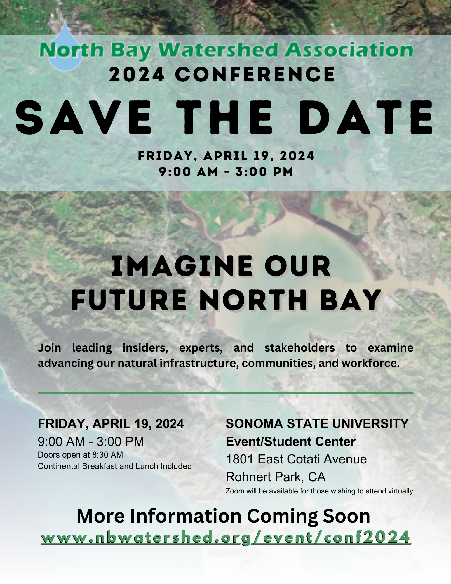
This biennial gathering promises to be a cornerstone event for our regional partners, communities, and of course our future water resiliency workforce – students! This year’s theme, “Imagine Our Future: North Bay,” will bring together leading insiders, experts, and stakeholders to explore advancing our natural infrastructure, communities, and workforce.
Visit our 2024 Conference page to subscribe to be kept up-to-date about this event! We look forward to seeing you at the conference.
Upcoming Events
San Rafael,
CA
94901
United States
Service Area
The North Bay’s watersheds encompass eastern Marin County, southern Sonoma County, Napa County, and portions of Solano County. The North Bay is the most rural part of the San Francisco Bay Area, with expansive open spaces and a relaxed pace of life.
More than 2,000 miles of streams flow through North Bay watersheds include Marin County’s small, urbanized creeks, the Petaluma River, Sonoma Creek, and the Napa River. Small Solano County creeks, between Vallejo and Benicia, and the Suisun Bay drainage just upstream in the larger San Francisco Estuary watershed, also influence the North Bay.
About Us

The North Bay Watershed Association is a group of diverse regional and local public agencies throughout the North Bay region working to craft regional approaches to managing our common watershed. Association members work cooperatively on water resources issues and go beyond traditional boundaries to promote good stewardship of the North Bay watersheds.
If you would like more information about the NBWA, see our brochure or contact us.
Featured Projects
This biennial gathering promises to be a cornerstone event for our regional partners, communities, and of course our future water resiliency workforce – students! This year’s theme, “Imagine Our Future: North Bay,” will bring together leading insiders, experts, and stakeholders to explore advancing our natural infrastructure, communities, and workforce.
Visit our 2024 Conference page to subscribe to be kept up-to-date about this event! We look forward to seeing you at the conference.
Upcoming Events
San Rafael,
CA
94901
United States
North Bay Watershed Association
c/o Central Marin Sanitation Agency
1301 Andersen Drive
San Rafael, CA 94901
Andy Rodgers | [email protected]
Next Board Meeting:
NBWA Board Meeting
July 11, 2025 @ 9:30 am - 11:30 am
©2023 NORTH BAY WATERSHED ASSOCIATION. ALL RIGHTS RESERVED.


