 |
7 The Historical Landscape
In this section
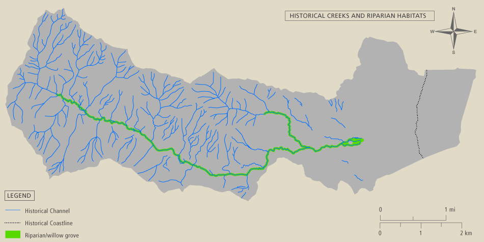
Creeks and Riparian Habitats
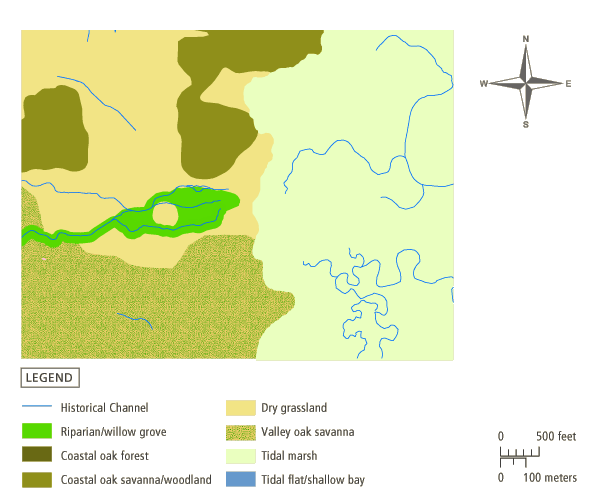
Every wetland, lake, natural stream or drainage ditch has some amount of adjacent riparian area. They are environmentally rich ecological boundaries, or ecotones, between aquatic and terrestrial environments. They provide important habitat for riparian and aquatic wildlife. Riparian vegetation also helps stabilize channel banks, filters pollution, and contributes to the overall rural aesthetic of Miller Creek.
No Creek Connection to the San Pablo Bay
 |
|
Historically, Miller Creek was not connected to the tidal channels. Map created by the San Francisco Estuary Institute, 2008. |
The historical mainstem of Miller Creek probably did not extend all the way to the Bay. It apparently dissipated into a willow grove and wetland complex just south of the present location of St. Vincent’s School. The earliest authoritative map (U.S. Coast Survey 1854) shows no hydrological connection between any part of Miller Creek and any tidal channel. The documentation of the land grant boundary survey conducted by Matthewson in early winter 1858 also does not mention any creek crossing or channel along the boundary that parallels the ecotone between the upland and the tidal marsh in this area. However, maps drawn in the 1870s and later, after the railroad had been constructed, clearly show a connection between the mainstem channel and a smaller tidal channel. The connection could have been created to drain the willow grove and/or to route creek floods under the railroad bridge.
Dwyer (1955) relates a story of nuns navigating up Miller Creek in 1855 en route to St. Vincent’s. We conclude that they in fact navigated up the tidal channel that was not connected to the creek but led to the upland edge of the adjacent tidal marsh. Miller Creek is an example of similarly sized drainages in the region that did not naturally reach the Bay, but were artificially extended to the Bay for flood control or wetland reclamation.
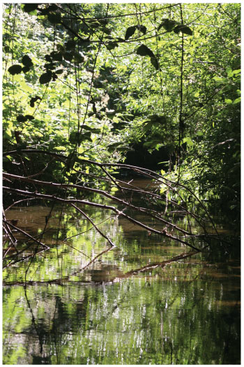 |
Photograph by Micha Salomon |